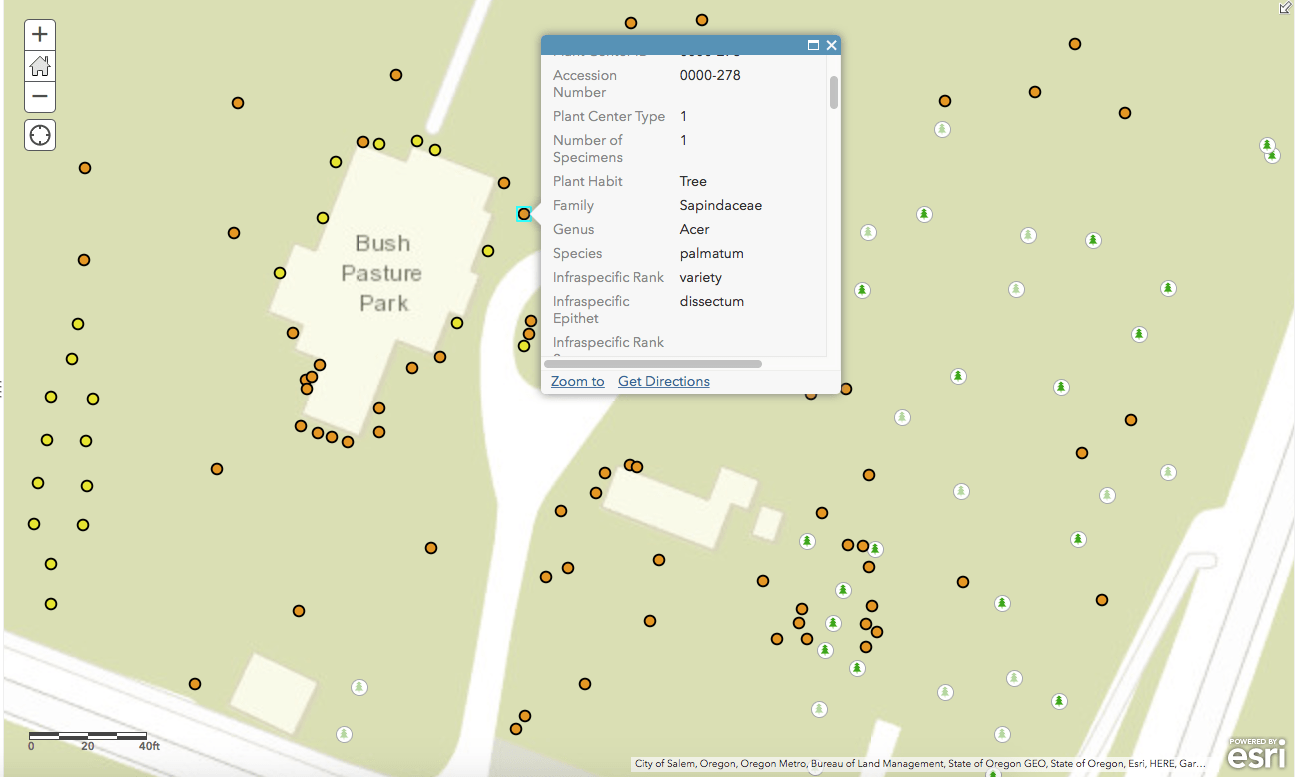
MSPC is in the process of accessioning (cataloguing) and mapping the trees and shrubs in the park’s northwest corner into a Geographic Information System (GIS) database. The process includes capturing a plant’s exact latitude and longitude using a hand-held GPS receiver, inputting identification information such as family, species, and genus, and then assigning each plant a unique number. Once an entry has been created for each plant, we can then add further information such as health and maintenance activities.
Plant information is available online as soon as it’s collected.
Bellevue Botanical Gardens provides a good example on how an online, mapped catalogue of plants benefits garden visitors.
From a management perspective, the primary benefit of cataloguing and mapping the plants is that anyone will have the ability to locate an individual tree or shrub regardless of their knowledge of the park or familiarity with the park’s plants. There are many addition benefits, including: insight into the scope and diversity of the park’s plants, the ability to create health and maintenance records on individual plants, tracking phenology data, among others.

